
QTH Locator by F6FVY

I love this tool. You open a webpage. Punch in the grid you want (In either 2, 4, or 6 character sizes) and it draws a box around your requested area in Google Maps. You can toggle among standard road map, terrain, and Satellite images. When planning a road trip to random places, I will spend hours sometimes using this tool to make sure I hit the grids I'm after. It's a true thing of beauty. Check it out Here.
SOTA Mapping Project
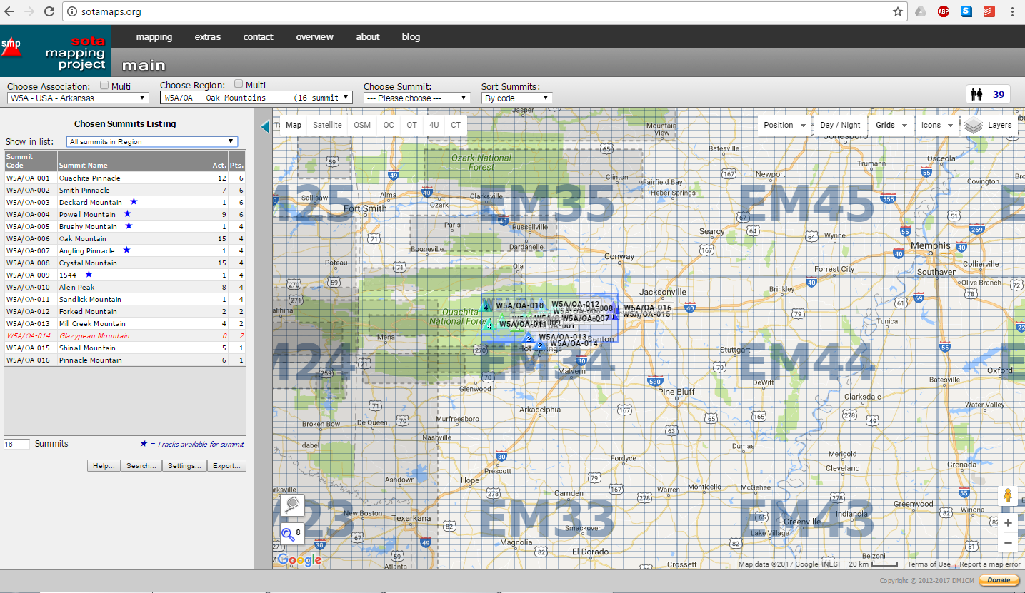
A close second to the QTH locator tool is the SOTA Mapping Project - which is alot busier, but also gives a ton more information. While this tool is obviously more tailored for Summits on the Air Activators and Chasers, the grid tools that are over-layed onto Google Maps are fantastic. Plus, if you like going up up mountains, it's pretty much the de-facto information source.
HamGPS

Once I'm in the field, how do I know where I am? I use an Android App called HamGPS on my phone. It shows me GPS, time, date, lat/long, altitude, and will also display Maidenhead grids If I want them. It's dang useful as well for finding exact grid lines, and grabbing a screen shot of it for evidence later.
No comments:
Post a Comment